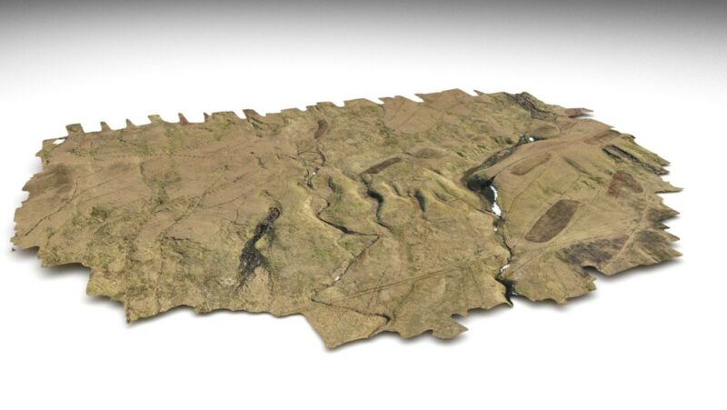
GIS and Geospatial Modelling
Our award-winning Geographical Information Solutions (GIS) team can meet all your mapping and geospatial modelling requirements in a cost-effective and innovative manner.
We deliver a wide range of services from digitisation and date entry, cartography, and map production through to geospatial data science, advanced geoprocessing, and spatial analysis. We are experienced in managing GIS projects from cradle to grave.
We provide services to high profile clients across a broad section of sectors. These include but are not limited to renewables, oil and gas, transport, infrastructure, power, waste and water, government, planning, utilities, telecommunications, archaeology and cultural heritage, ecology and conservation.
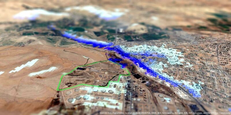
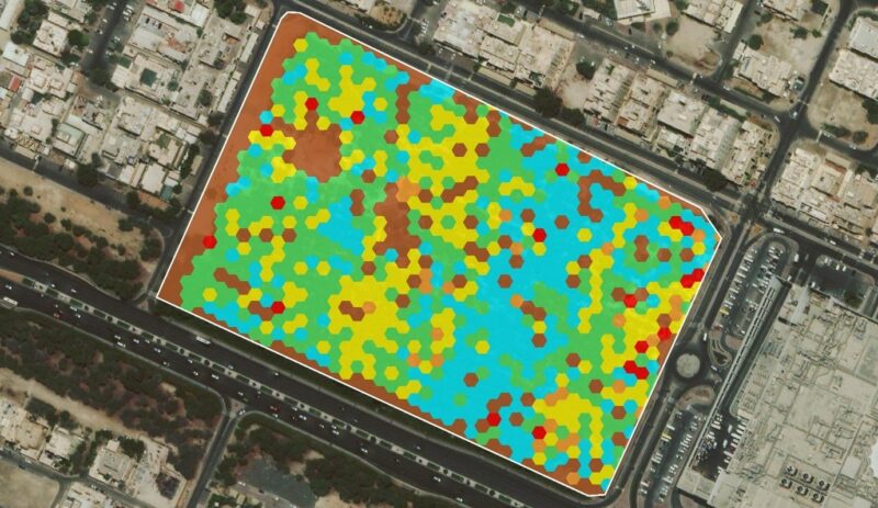
Some recent projects include regional master planning with governmental organisations, Zone of Theoretical Visibility (ZTV) analysis for windfarms, Right Of Way (ROW) mapping for pipelines and overhead power transmission lines, groundwater modelling for industrial facilities, optimised tree planting locations for habitat restoration and modelling the impact of sediment deposition on vulnerable habitats from offshore dredging activities.
Find out more about our related services by clicking on the links below: