Space Based Habitat Mapping
Our team of experts in earth observation technology use multispectral data collected by satellites to map and quantify habitats throughout the world. Working with the latest satellite technologies such as Airbus Pléiades Neo, our team of GIS specialists are available to provide habitat maps of terrestrial and marine environments with a resolution of up to 30cm.
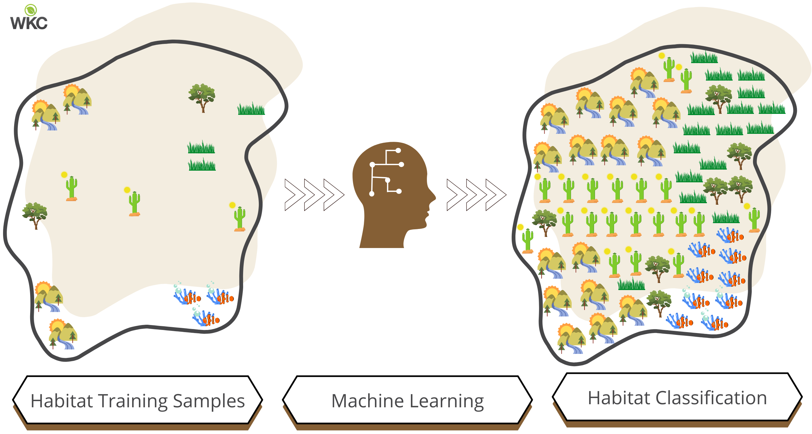
To achieve this, a form of artificial intelligence known as “machine learning”, is used for automated habitat identification and classification. Machine learning is a branch of artificial intelligence where algorithms and statistical models are used to perform a specific task without using explicit instructions, relying on patterns and inference instead.
The application of machine learning algorithms for satellite image classification have become increasingly popular within recent years. This due to a combination of data availability, algorithmic process, and specialised hardware. Examples of project we have worked on include Right of way (ROW) mapping for pipelines and overhead transmission lines, habitat constraints mapping for coastal developments, vegetation mapping around industrial developments and mangrove health assessments for ecotourism developments.
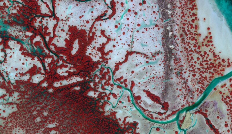
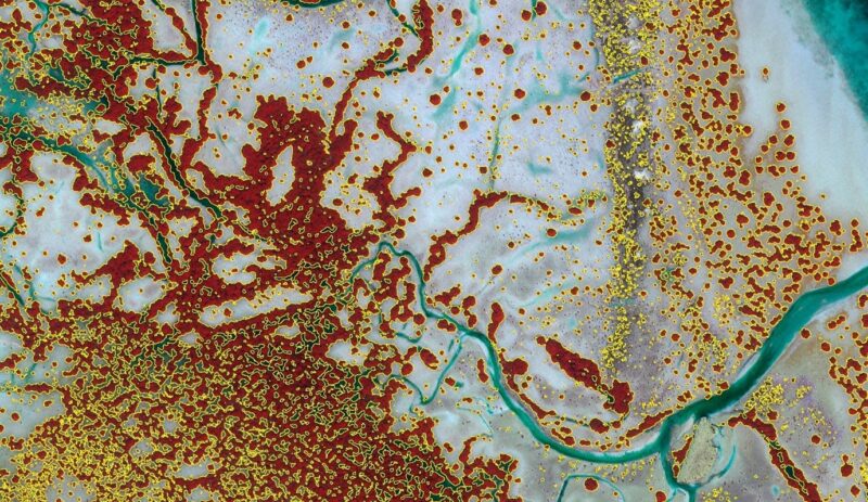
Automated mapping of mangrove extent as part of a habitat mapping project using machine learning technology. The mangrove extent results overlay a False Colour Infra Red (Near Infrared, Red, Green band) composite of high resolution satellite data.
Find out more about our related services by clicking on the links below: