A Brief History of GIS: From 1960s Origins to Modern Geospatial Technology
by Mark Brown, Senior Consultant – Geospatial Solutions at WKC Group
Introduction: The Geospatial Revolution
GIS is now more accessible than it has ever been. Google Earth provides us with satellite imagery of the Earth with a few clicks of a mouse. We can all easily find maps and our location on our mobile phones. The adoption of open source software means software such as QGIS is downloadable and accessible by anyone with a computer.
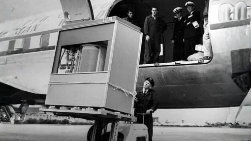
A 5 MB hard drive being loaded onto a plane in 1956
(Credit Techspot)
In fact, a geospatial revolution has been occurring since the mid-2000s. This revolution has been driven by advances in technology, increased access to the internet, capability of remote sensing satellites and a shift in how geospatial information is applied across various industries.
Smartphones and mobile apps have brought geospatial technologies to the masses with applications ranging from location based services (e.g. Uber, Google Maps) to fitness trackers and personalised advertised. GIS has become ubiquitous with many people not even realising that the technology they are using has its roots in GIS.
Let’s have a quick look through the history of GIS to see how far it has advanced since it’s early days in the 1960’s.
History of GIS: Decade by Decade
1960s
CGIS
Origins of Geographic Information Systems
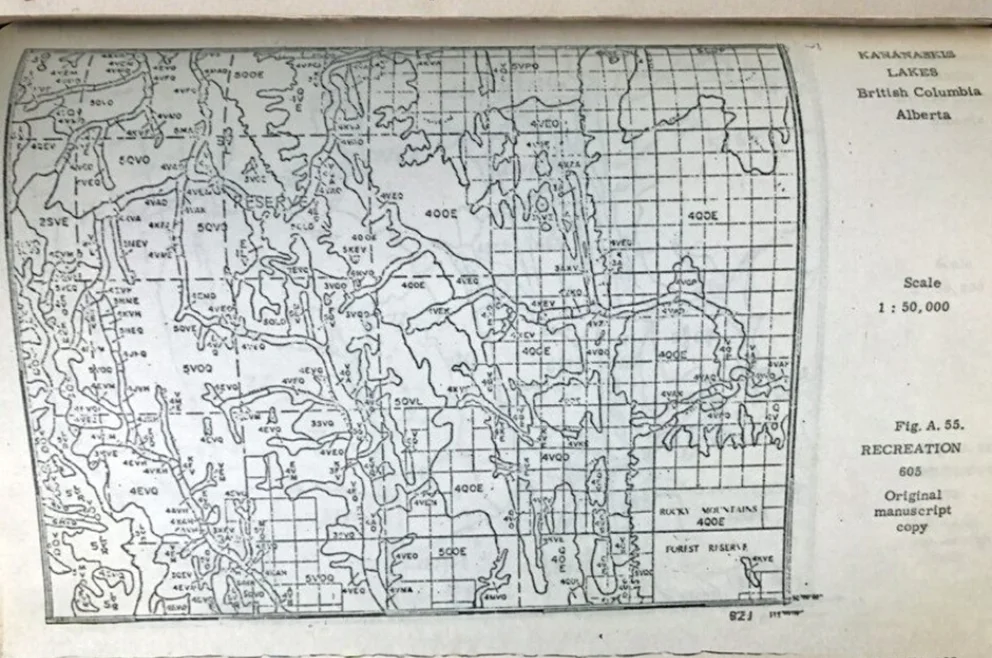
An early GIS map (Tomlinson, RF; (1974))
(Credit: James Cheshire)
1970s
Esri Founded
Early Commercialisation of GIS Technology
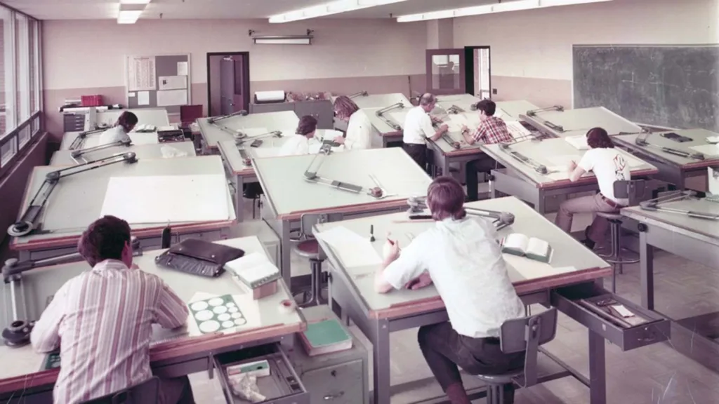
A drafting class in the early 1970s
(Credit: Rare Historical Photos)
1980s
Desktop GIS Emerges
Growth and Accessibility of GIS
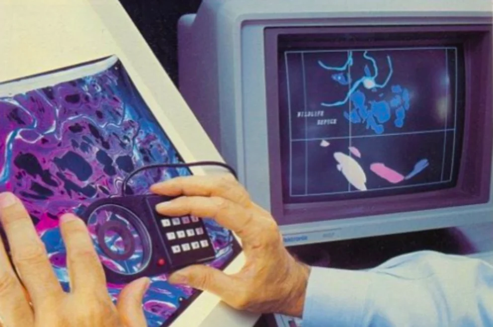
Jack Dangermond, Founder and President of Esri digitising a wildlife refuge with ARC in 1982
(Credit: GIS and Science)
1990s
User-Friendly GIS
Mainstream Adoption of Geographic Information Systems
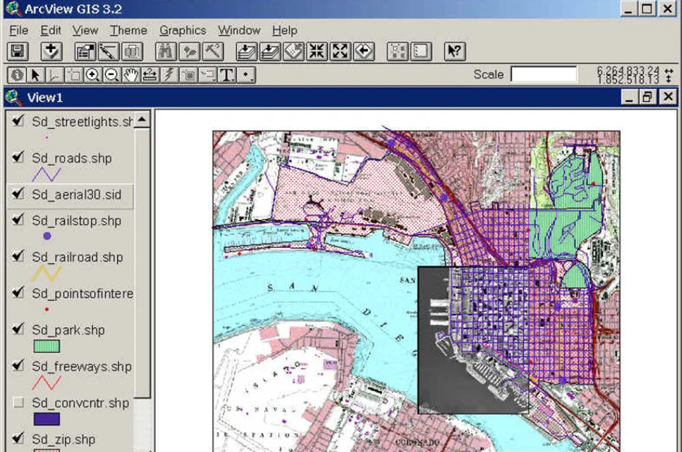
Esri’s ArcView 3.2 for desktop computers (1992)
(Credit: San Diego State University)
2000s
GIS Goes Public
The Web and Data Revolution in GIS

NASA’s 2002 Blue Marble composite image, built from months of MODIS observations
(Credit: NASA’s Earth Observatory)
2010s
The Rise of Geospatial Big Data
Advanced Analytics and Big Data in GIS
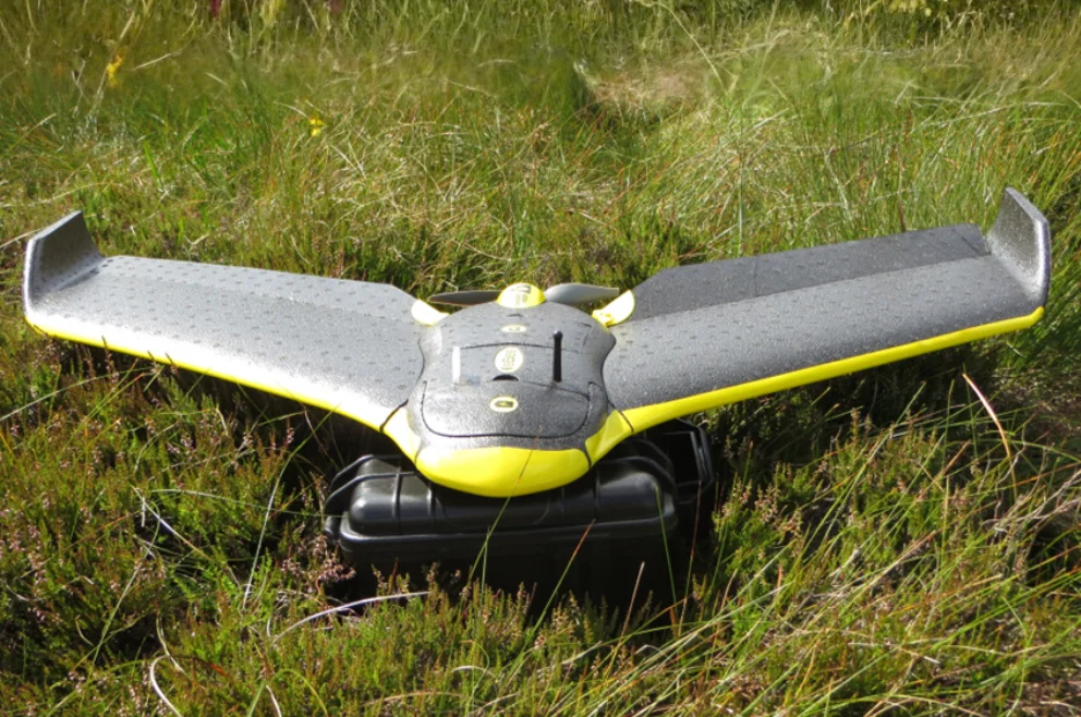
Sensefly eBee aerial survey drone
(Credit: Mark Brown, 2013)
2020s & Beyond
Future Trends
Advanced Analytics and Big Data in GIS
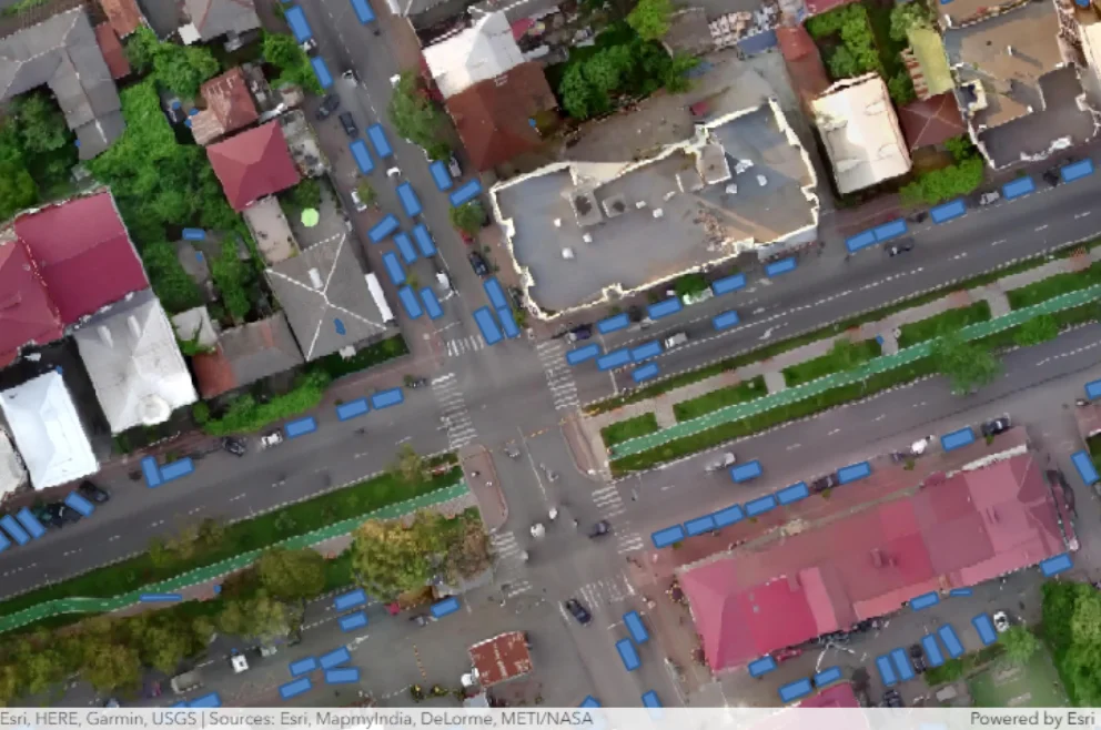
Automatic counting of the number of cars at a car park using machine learning
(Credit: Esri Developer)


