Role of Satellite Technology in Mapping Burn Areas
by Nicole Mejia – Environmental Engineer at WKC Group
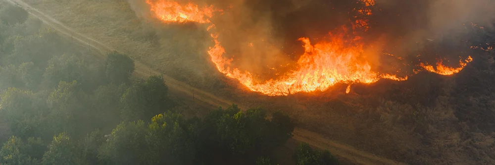
Why Wildfire Monitoring Needs Advanced Technology
Globally, wildfires continue to pose risks to ecosystems and human lives, particularly in regions experiencing rising temperatures and prolonged dry conditions. Effective disaster management requires both rapid response and long-term recovery planning – and both depend on accurate monitoring, assessment, and mapping of wildfire impacts.
One of the emerging tools providing quick and near-real-time burn area data is satellite technology. With their ability to cover large areas in high resolution, satellites have become game changers in mapping burned areas.
How Satellite Technology Helps Map Burnt Areas
Satellites equipped with optical and thermal sensors are essential for wildfire mapping. These sensors record spectral responses at multiple wavelengths, creating unique signatures that distinguish burned from unburned features.
- Optical sensors operate in the visible and near-infrared spectrum, enabling clear identification of burned areas.
- Thermal sensors detect heat signatures, making it possible to pinpoint hotspots and active fires.

Satellite view of major wildfire in Namibia’s Etosha National Park, September 2025
The large Etosha Pan appears dull white; open land with sparse vegetation is tan, active fires are marked in red, smoke is gray, and dark brown or black areas are burn scars – land seared by fire.
(Credit: NASA MODIS / Aqua Satellite)
Key Missions for Wildlife Monitoring
Several satellite missions are widely used in wildfire management:
- Sentinel-2 (European Space Agency) – 10 m resolution, ideal for mapping burn boundaries and severity.
- Landsat 8 (NASA/USGS) – 30 m resolution, widely used in long-term monitoring.
- MODIS (NASA) – thermal sensors, effective for active fire detection and intensity mapping.


Landsat images of California’s Caldor Fire, August 2021. Near-infrared and shortwave infrared bands highlight active fire lines, smoke plumes, and extensive burn scars as the blaze advanced toward Lake Tahoe.
(Credit: USGS / NASA Landsat 8)
Measuring Fire Severity with the Normalised Burn Ratio (NBR)
To assess the severity of burned areas, indices like the Normalised Burn Ratio (NBR) are applied. NBR is derived from the near-infrared (NIR) and short-wave infrared (SWIR) bands:
Formula:
NBR = (NIR − SWIR) / (NIR + SWIR)
This index allows:
- Detection of burned areas.
- Measurement of vegetation damage.
- Monitoring of ecosystem recovery over time.

Example of the Landsat Collection 2 Burned Area Science Product showing the Bootleg Fire in Oregon on July 11, 2021 (tile h006V010). The left image displays Landsat 8 Surface Reflectance (Bands 6,5,4); the middle shows Burn Classification (BC); and the right shows Burn Probability (BP).
(Credit: USGS / NASA Landsat 8)
The Role of Satellite Technology in Disaster Response
Satellite technology continues to transform wildfire management by delivering near-real-time data for:
- Rapid response – identifying active fire zones.
- Impact assessment – mapping burn severity and extent.
- Recovery planning – tracking vegetation regrowth.

Normalised Burn Ratio (NBR) visualisation derived from Landsat data, illustrating burned versus unburned areas and varying degrees of vegetation loss.
(Credit: USGS Landsat Missions)
WKC’s Approach to Wildfire Monitoring
At WKC, we provide satellite-based burn area mapping to support both rapid response and long-term recovery planning. Using a combination of high-resolution imagery, indices such as NBR, and GIS techniques, we deliver reliable tools to assess wildfire impacts efficiently across large areas.
If you’re looking to integrate satellite mapping into your wildfire response or recovery project, reach out to us – we’d be glad to explore how this technology can support your work.