Credit: Maxar
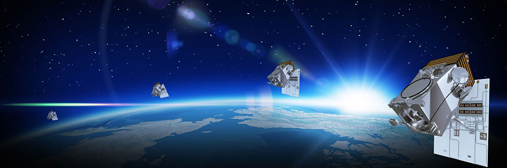
WKC’s Remote Sensing services. Now with HD Technology!!
Recent advances in remote sensing technology means that WKC Group is now able to carry out analysis using satellite imagery of up to 15cm resolution! This is a massive leap forward in the world of satellite imaging. It doubles that of the previously highest resolution commercial satellite imagery at 30cm.
HD technology increases the number of pixels in a satellite image through a complex mathematical model. Higher resolution data provides a superior visual experience. Better more informed decisions can be made as even smaller features can be identified on the ground.
This helps both our team of remote sensing experts and the algorithms that they use to extract better more meaningful information.
Here at WKC we are very excited by how remote sensing technologies are advancing. Drones are all the rage right now, but with major advancements like this, we look forward to seeing where satellite technology will take us in the future.
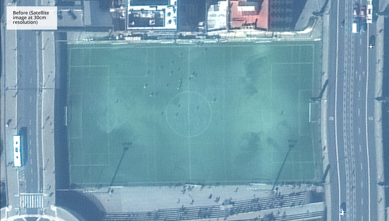
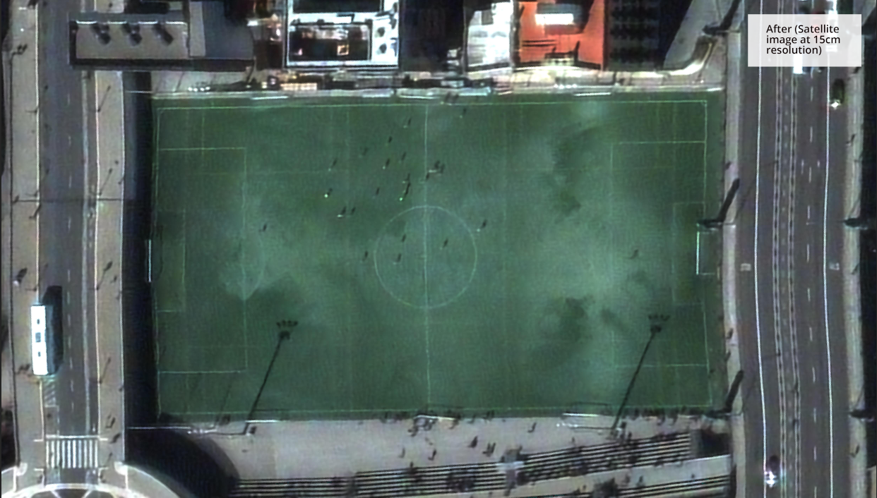
A football pitch in Barcelona, Spain. Satellite image enhanced with new 15cm HD Technology. (© Maxar)
Author: Mark Brown, Senior Consultant – GIS and Remote Sensing
Please contact us to find out more about WKC’s GIS and Remote Sensing capabilities; enquiries@wkcgroup.com