Calculating Biodiversity Net Gain
Biodiversity Net Gain is an approach to development and/or land management that aims to leave the natural environment in a measurably better state than beforehand..
Biodiversity Net Gain is an approach to development and/or land management that aims to leave the natural environment in a measurably better state than beforehand..
Biodiversity Net Gain (BNG) is an integral part of developmental planning processes which in practice means that all developments are..
In order to gather valuable information which is used to inform habitat restoration schemes..
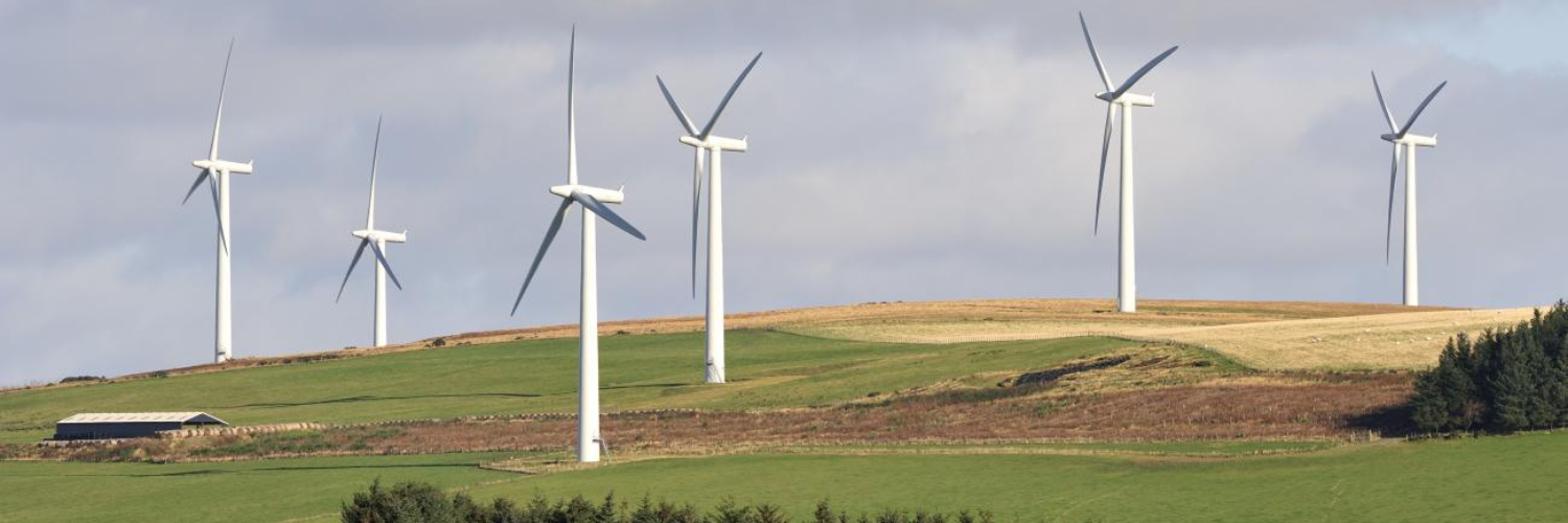
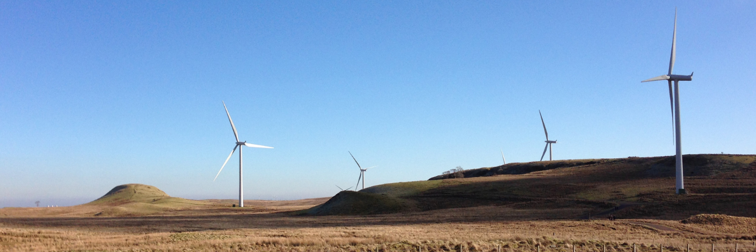
Peatland Restoration is becoming increasingly common in areas where windfarm projects have been commissioned.
Pollutants in areas of low air quality can be hazardous and dangerous to people, especially to those with..
The World Health Organisation’s (WHO’s) Air Quality Guidelines (AQGs) serve as..
The GHGP has developed calculation tools for the three main categories associated with GHG reporting..
An Atmospheric Impact Report is undertaken to assess the impacts of an existing or proposed facility..
A Basic Assessment is usually required for smaller scale activities, the impacts of which are...
WKC’s International Environmental Impact Assessment Team have recently completed an Environmental and Social Impact..
Get our latest project updates, company news, and environmental insights in your inbox.
By subscribing, you agree to receive communications from us about company updates and related information.
Subscribe to Our Newsletter
Get our latest project updates, company news, and environmental insights in your inbox.
By subscribing, you agree to receive communications from us about company updates and related information.