Global Positioning System (GPS) Surveys
Global Positioning System (GPS) technology enables us to provide horizontal and vertical positional data with accuracies of up to 1m.
This technology is entrenched in many aspects of modern life such as mapping applications on our mobile phones and satellite navigation devices (sat navs) in our cars.
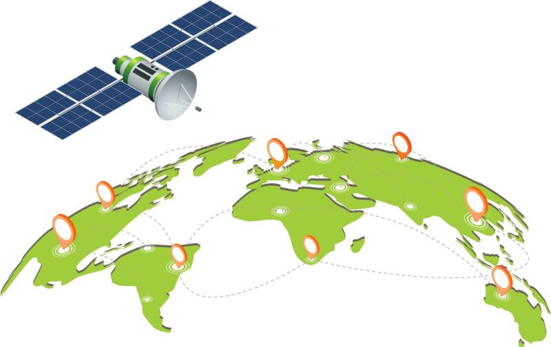
GPS is a space-based radio-navigation system whereby satellites broadcast highly accurate navigation pulses. A device known as a GPS receiver can be used to detect these signals. The device measures the time it takes for radio signals to travel from multiple satellites to its location and calculates the distance to each satellite and from this determines the receiver’s location on earth.
In fact, you could download and app onto your mobile phone and start capturing positional data right now. If this is the case, why would you employ WKC Group to carry out a GPS survey for you?
Positional accuracies on mobile phones and recreational GPS used by trail walkers have spatial accuracies of up to 10 meters at the most. With our mobile mapping devices, we can capture spatial information of up to 1m in comparison.
Our devices also fully integrate with our GIS software and the information they capture can be uploaded to cloud storage during a field survey. This means staff in our offices can receive and be working on survey data before our field staff have even left the survey site.
Some examples of projects of where we have employed GPS technology include mangrove tree mapping in near shore environments, tree health surveys, sand dune restoration, biodiversity surveys, locations of sound level meters for noise modelling and positioning of offshore monitoring. Click on the link to find out more about our ecology services.


